MajiMaps
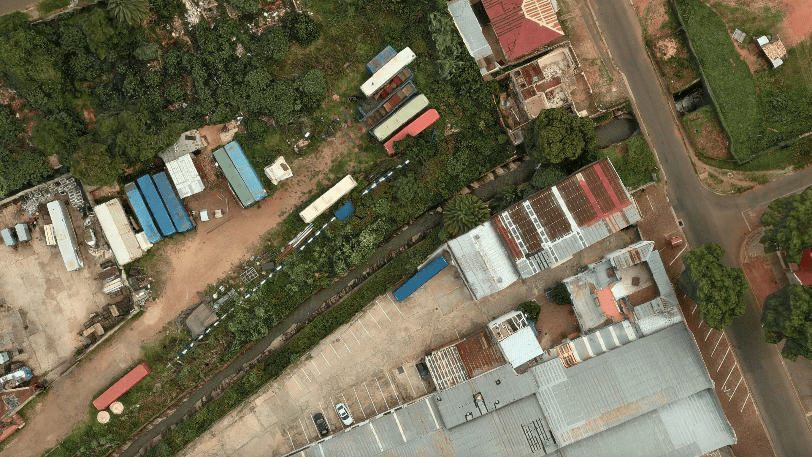
Image of Jukskei River

MajiMaps

To allow the public to report local water crises and empower communities to protect water access through open data and local action.

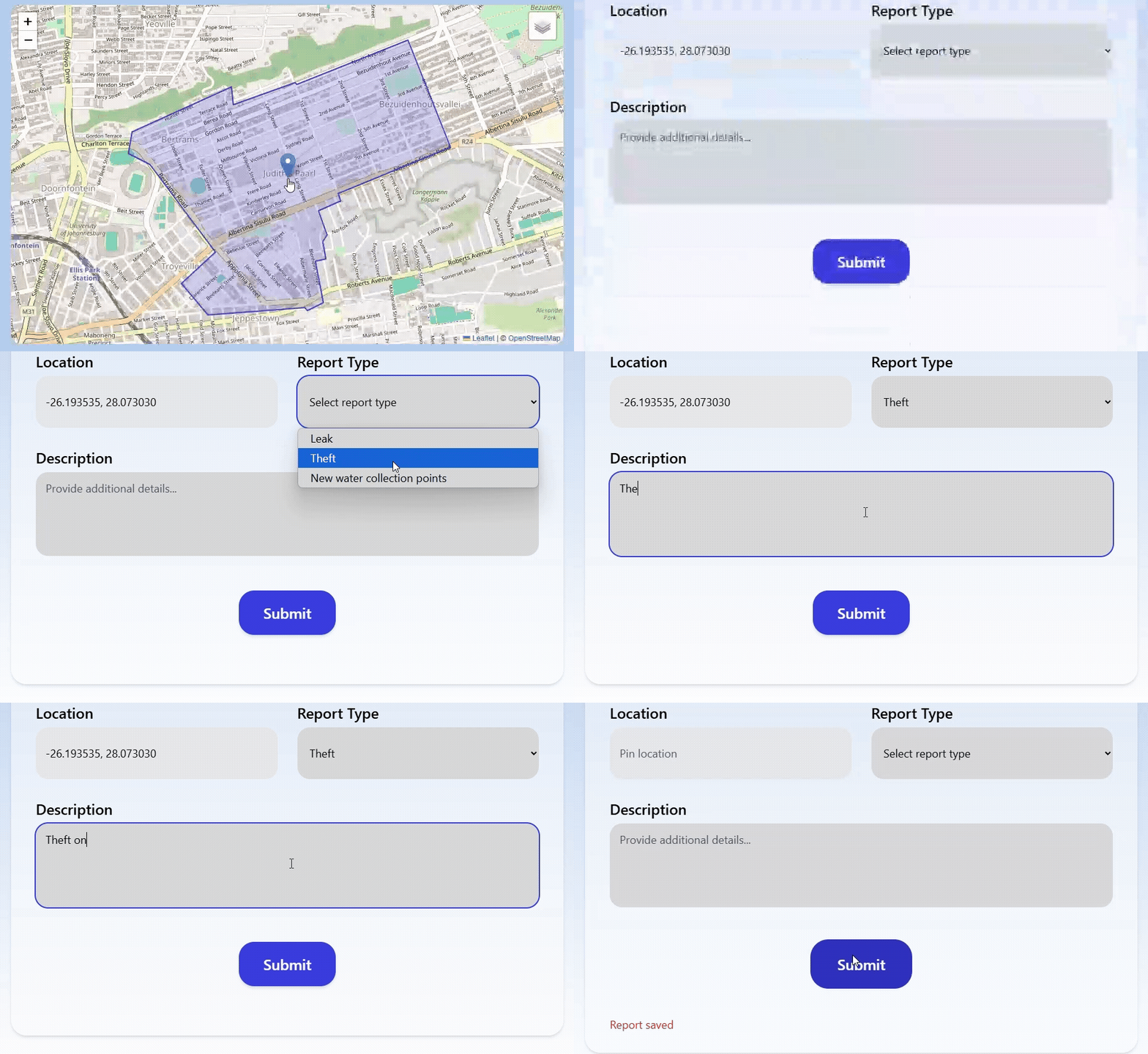
Theft Functionality

Theft Functionality

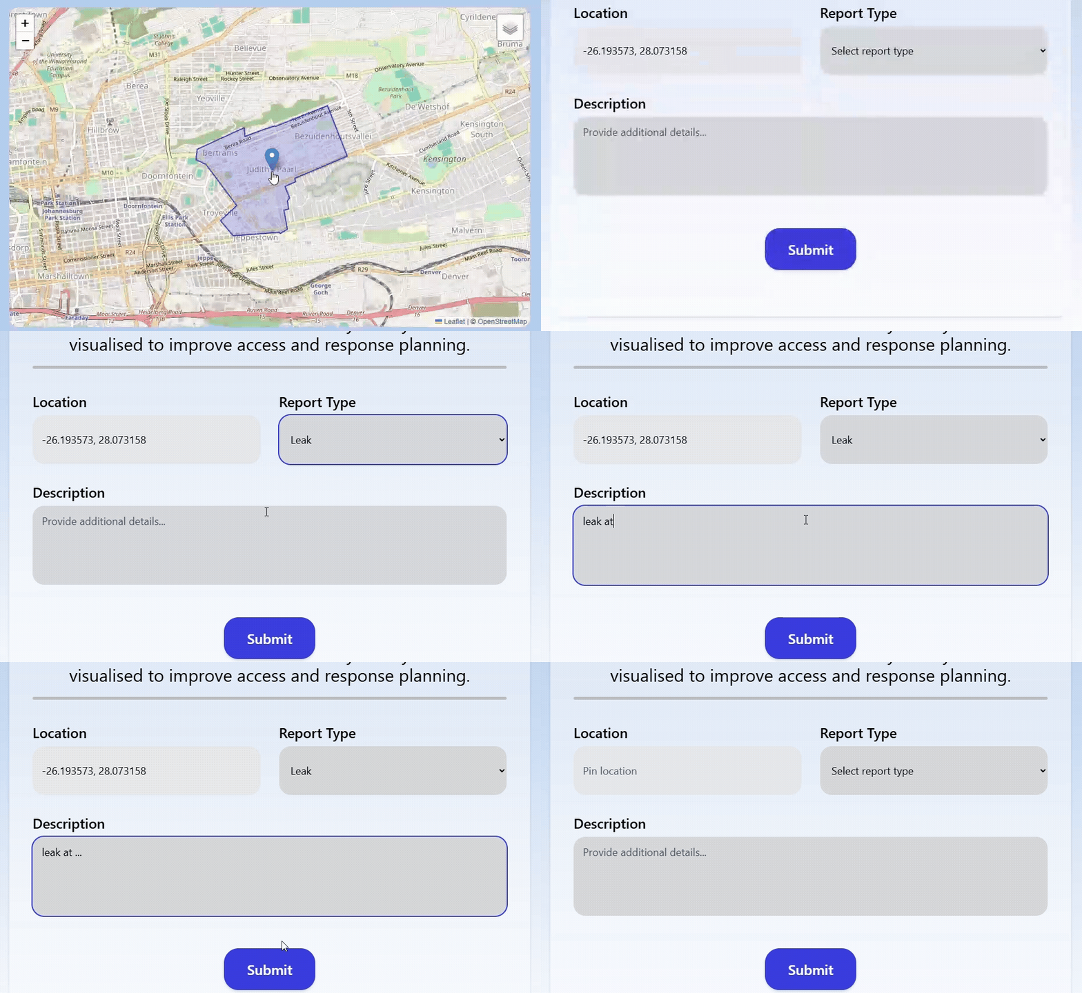
Leaking Functionality

Leaking Functionality

Map

Coordinates:

Latitude: , Longitude:

Your reports help local teams identify areas needing attention. Submitted locations are anonymously stored and visualised to improve access and response planning.

0 / 255

Contact Us

Reach out with any questions or issues

Local Resources

City Helpline - 0000000000
Leak Service Support - support@example.com
Leak Response Unit - response@example.com

Email Service

We’ll email you in case of urgent disruptions (Use Outlook)

Subscription Preferences

Hayden Jones - 100%
Hayden Jones - 100%
Ali Mohammadi - 0%
Ali Mohammadi - 0%
Blake Patchett - 0%
Blake Patchett - 0%
Conrad Omokheoa - 0%
Nedas Araka - 0%
Nedas Araka - 0%
Nedas Labokas - 0%
Nedas Labokas - 0%